
Education and Capacity Building at BEGEO October 2021 by AMFM BeLux
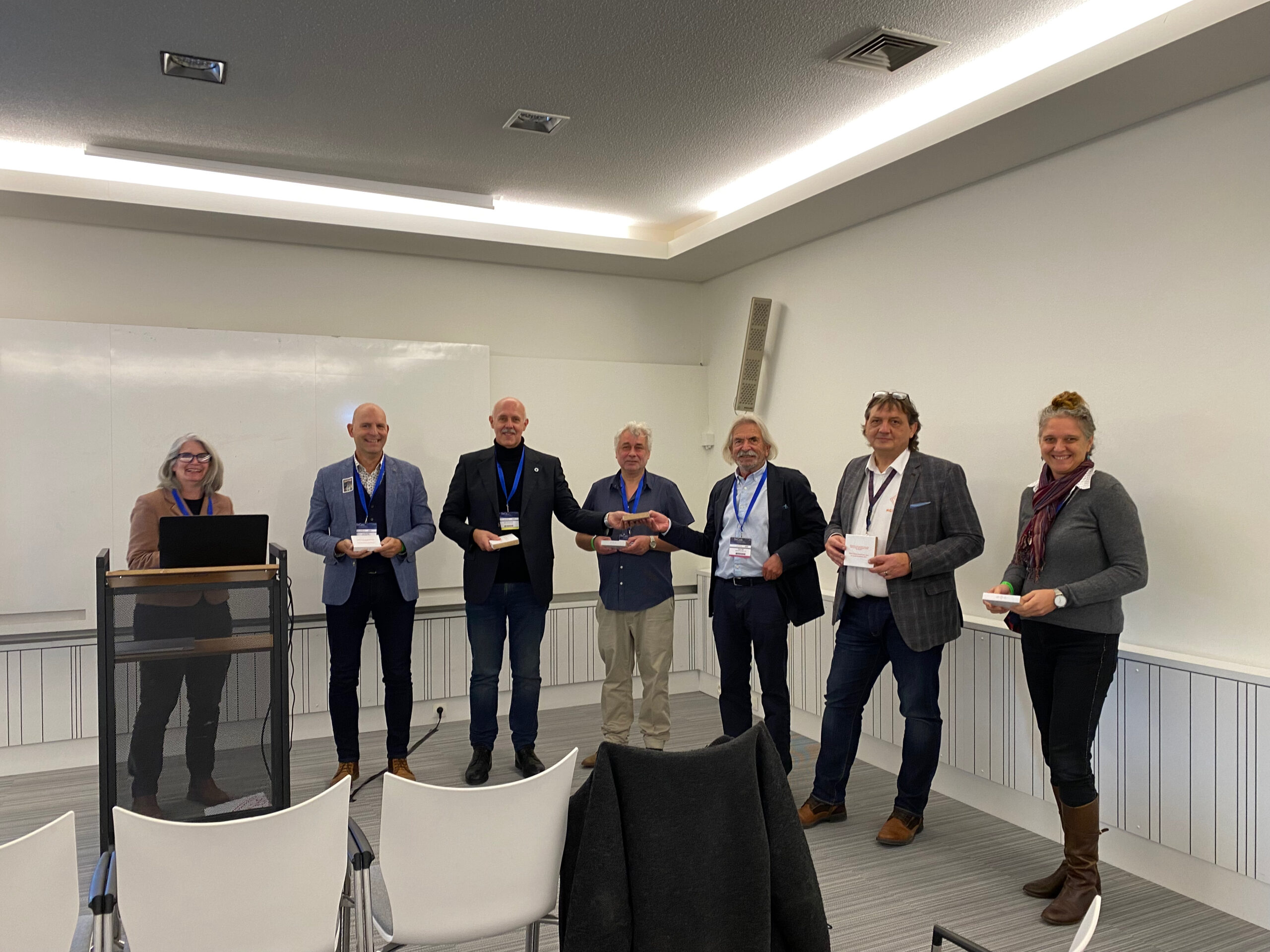
The Education and Capacity Building track started with a morning session chaired by Danny Vandenbroucke (KU Leuven). The session was briefly introduced by Hans Breemersch, President of EUROGI. Peter Zeil from Spatial Services GmbH explained the idea of developing a Copernicus Academy Hub for sharing knowledge, stimulate innovation and outreach in the EO*GI sector (CopHub.AC). […]
Succesful Geograma workshop on Copernicus data
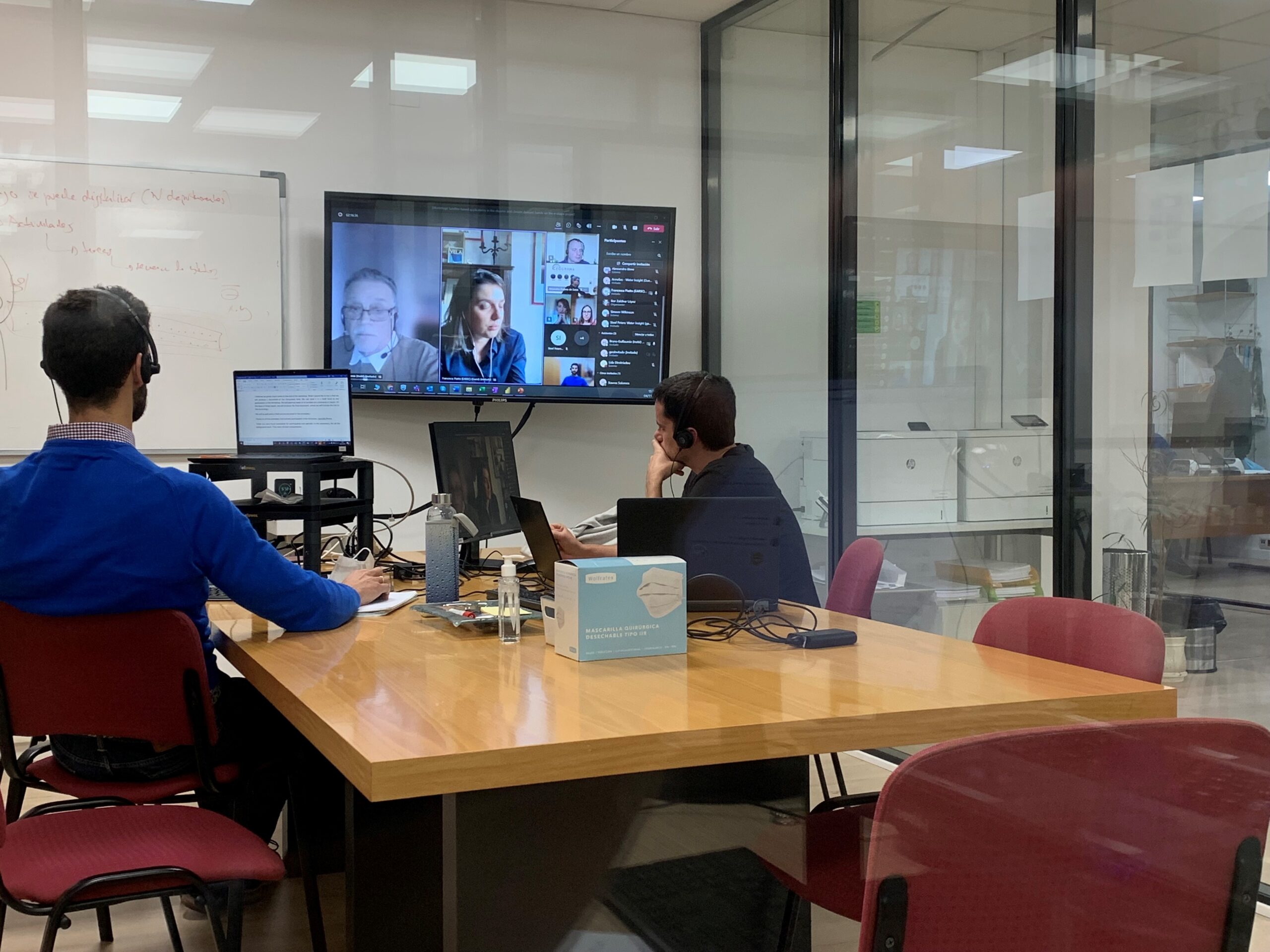
The workshop about the uses of Copernicus data was held last November 4, 2021, and took place online. It was organised by Geograma on behalf of EUROGI, in the framework of the e-shape project . The workshop gathered a wide range of stakeholders and its main objective was to promote four previously selected e-shape pilots, […]
Join EARSC’s workshop on Copernicus
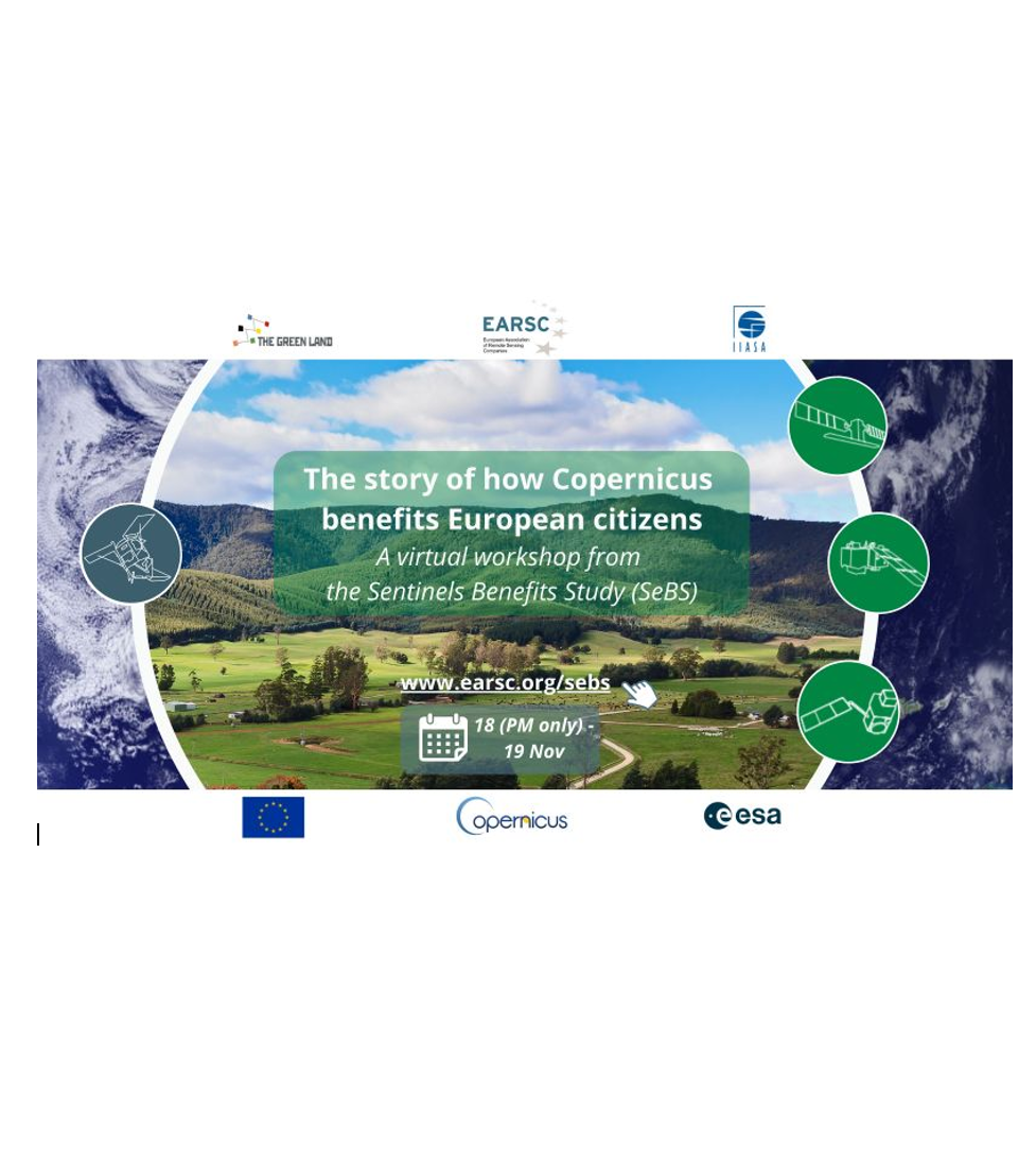
In The (virtual) SeBS Results Workshop on 18th and 19th November, we shall tell the story of how Copernicus is delivering value to European citizens. The monetary benefit is clearly important and of strong interest but often it is other types of benefit, for example for the environment, which are more important. Each of the […]
COP26 “atmosfair” EUROGI action

During COP26, EUROGI confirms its commitment to a more sustainable world. Following our participation in the GeoSpatial World Forum in Amsterdam, we decided to offset the carbon footprint of our presence at this event (flights, meeting rooms, meals, hotel nights, …) in collaboration with the specialised company www.atmosfair.de . Some may rightly say that this […]
Amsterdam, 21 October 2021: EUROGI and EUROGEO join forces

During the EUROGI General Board Meeting, embedded in the 2021 edition of the Geospatial World Forum in Amsterdam, our sister organisation EUROGEO, solemnly confirmed its willingness to embrace a close cooperation with us. Their proposal to join EUROGI was well received by our General Board. The respective Executive Committees will analyse the specifics of this […]
Join EUROGI at GWF

We have the pleasure to announce you that since this year EUROGI is a strategic partner to the Geospatial World Forum. Come and join us on Friday 22 October 2021, from 9.30 – 14.00 CEST for the session “Beyond SDIs, What comes next?”. If you are already at the GWF just come to Building 43 […]
Cavtat (HR), 4 September 2021 CLGE and EUROGI consider a closer cooperation
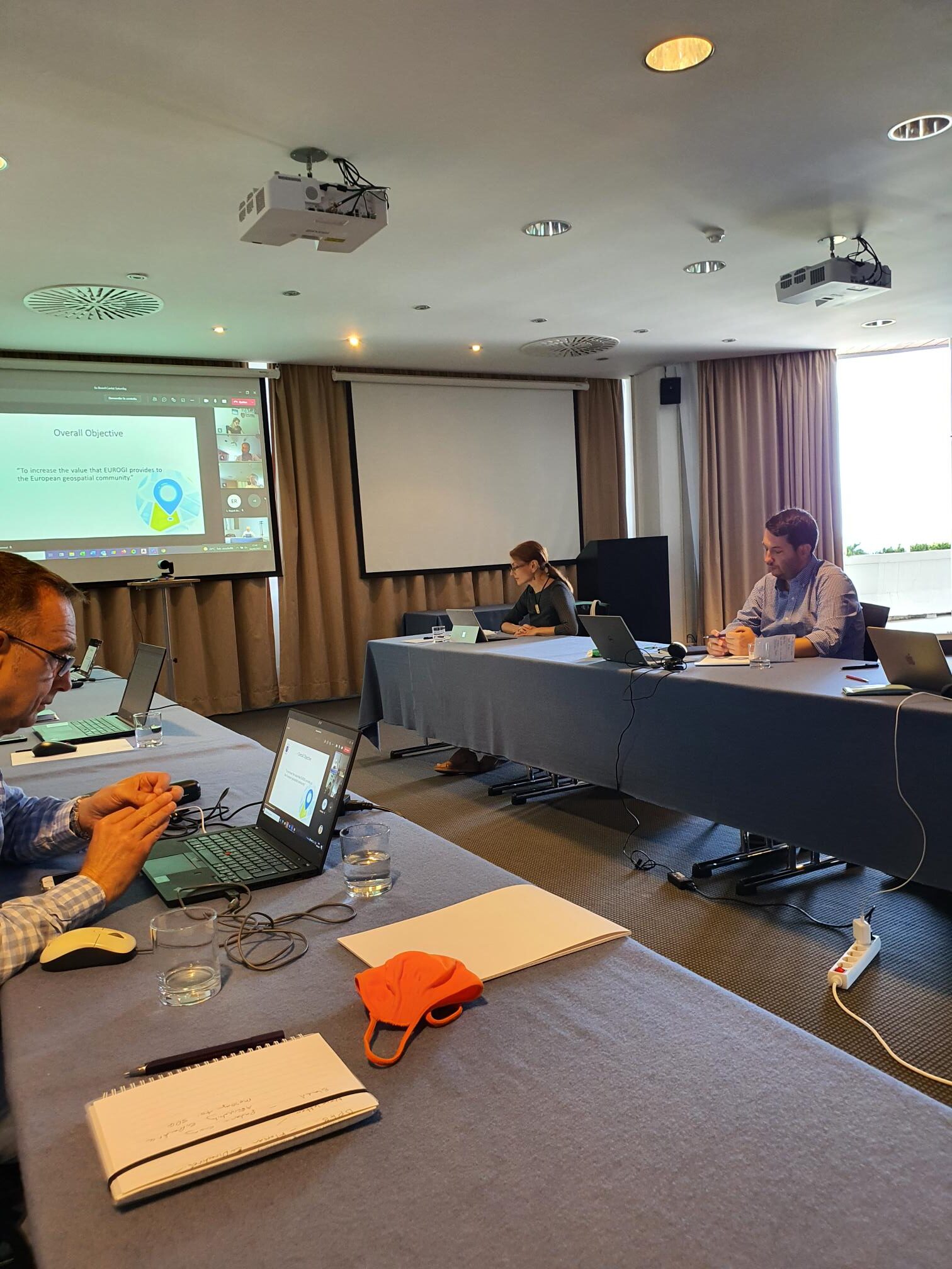
Daria Cornea presented the European Umbrella Organisation for Geoinformation EUROGI to the CLGE Executive Board gathered in Cavtat (HR). The board understood that both organisations would benefit from closer collaboration and talks for a Memorandum of Understanding can begin. First ideas would be to increase the cooperation between respective members’ members and to consider taking […]
GIS day celebration November 17th

The annual GIS Day celebration (https://www.gisday.com) within the traditional Geography Awareness Week is our opportunity to reach out to schools, communities and professionals across all disciplines and domains. By showcasing the potential and applications of geospatial technologies we inspire others to explore and use GIS. GIS Day events are offered in a variety of online […]
The UNINFO standard for Geographic Information professional profiles.
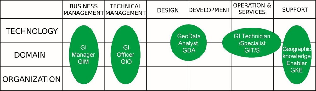
Last summer, UNINFO – ICT technologies and applications, the standardization body federated with UNI, published the UNI 11621-1:2017 standard that establishes the general criteria for the definition of professionals working in the geographic information field by identifying their distinguishing set of knowledge, skills and competences. At the time of publication of this standard, the maintenance, […]
Towards a Sustainable Geospatial Ecosystem Beyond SDIs
Since the SDI conceptualisation was developed in the late 1980s and early 1990s there have been many technological and other changes which have quite radically changed the environment for geospatial information and analytics. There is thus a need to re-think and re-align the way in which geospatial information is shared, analysed and used in the […]