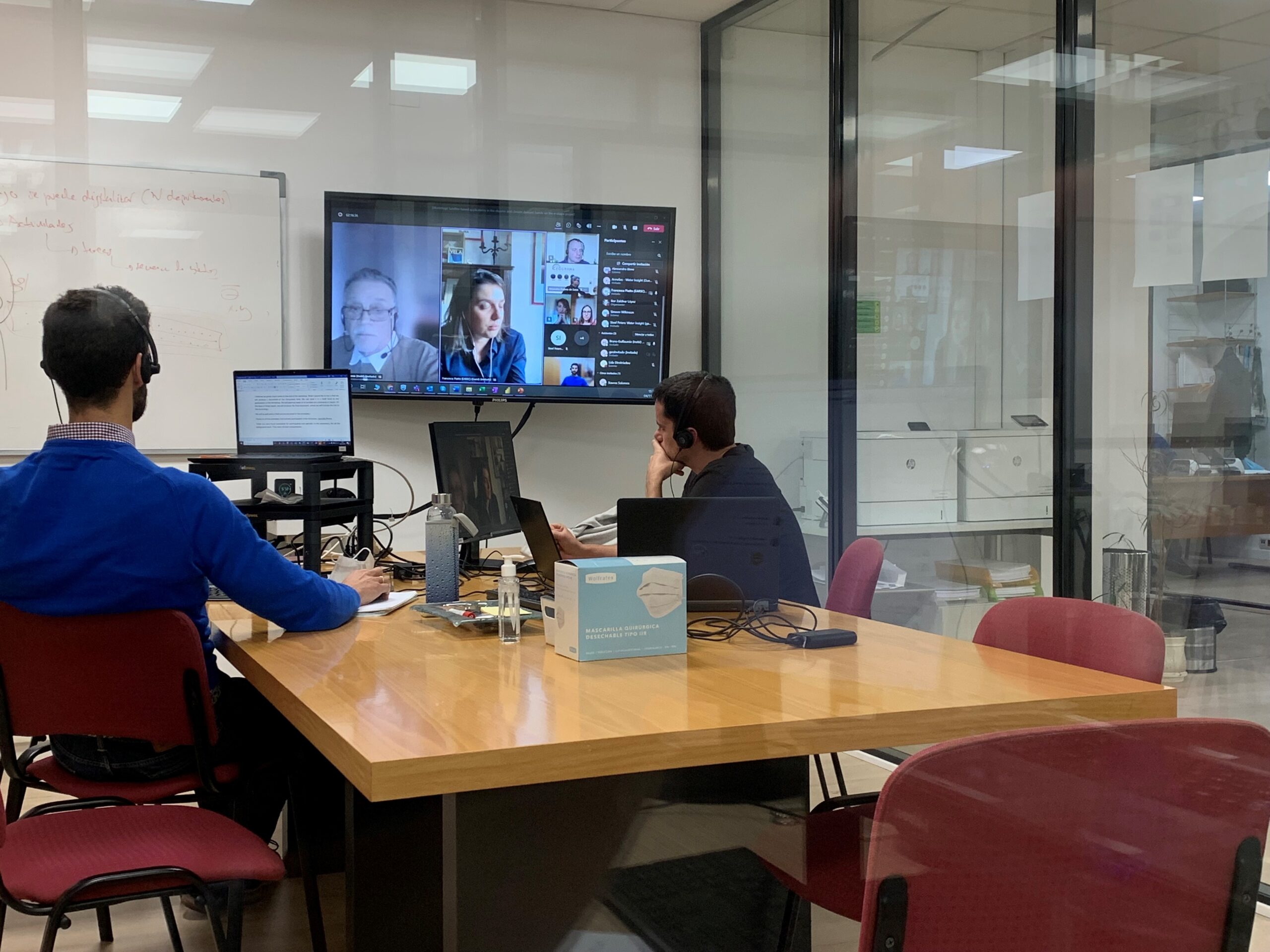
The workshop about the uses of Copernicus data was held last November 4, 2021, and took place online. It was organised by Geograma on behalf of EUROGI, in the framework of the e-shape project . The workshop gathered a wide range of stakeholders and its main objective was to promote four previously selected e-shape pilots, bringing together potential end user groups in Spain, and to get involvement from relevant members of these groups, involving potential developers in the Earth Observation field to support the co-design approach of the pilots.
The workshop was organised into one main session. It started with introductions from a representative of the European Association of Remote Sensing Companies EARSC and from a representative of both Geograma and EUROGI. This was followed by the four e-shape pilot presentations on maritime and tourism issues in the disaster management domain. Afterwards, there was a group discussion where very interesting and relevant conclusions were collected. The workshop ended with closing remarks from representatives of Geograma and EARSC.
Geograma is a EUROGI member that provides GIS professional services, specialised in Copernicus in situ component.
E-shape is an H2020 project promoted by EARSC.