
Successful BEGEO 2020

On 27 October 2020, AM/FM-GIS Belux participated in THE annual national GI event in Belgium, called ‘BEGEO: The Ultimate Connection’. In this troubled year, the base line was very relevant, people need to connect and when live encounters are difficult, the online events offer an appreciable alternative, although they can of course not replace the […]
SOGI, the Swiss Organisation for Geoinformation (SOGI) starts a series of online webinars packed with inspiring talks
There are many important issues where geoinformation plays a major role and where reliable geodata is urgently needed. SOGI will be starting conversations about these issues and sharing its members’ knowledge through a series of online webinars which will build on the experience and expertise of well selected speakers. First Webinar SOGI’s first webinar series […]
Focus Group ‘Women in GI’
Dear EUROGI members and sympathizers, Women in GI is a Policy Focus Group in EUROGI, the European Umbrella Organisation for Geographic Information (www.eurogi.eu), which has two main goals: Firstly, to provide an opportunity for women currently in the European geospatial sector to network and make contacts, and to share experiences; Secondly, to develop policy positions […]
GeoHive – Ireland’s Hub for Authoritative Spatial Data

GeoHive is a National Online Platform, enabled by Ordnance Survey Ireland, to provide easy access to publicly available Spatial Data. GeoHive offers unrestricted web based access, to Ordnance Survey Ireland Geospatial Information alongside Authoritative Datasets from multiple sources across Ireland. Enhancing access to Location Based information, GeoHive allows the user to make better, more informed […]
Brugstedet.dk – a catalogue of inspiration
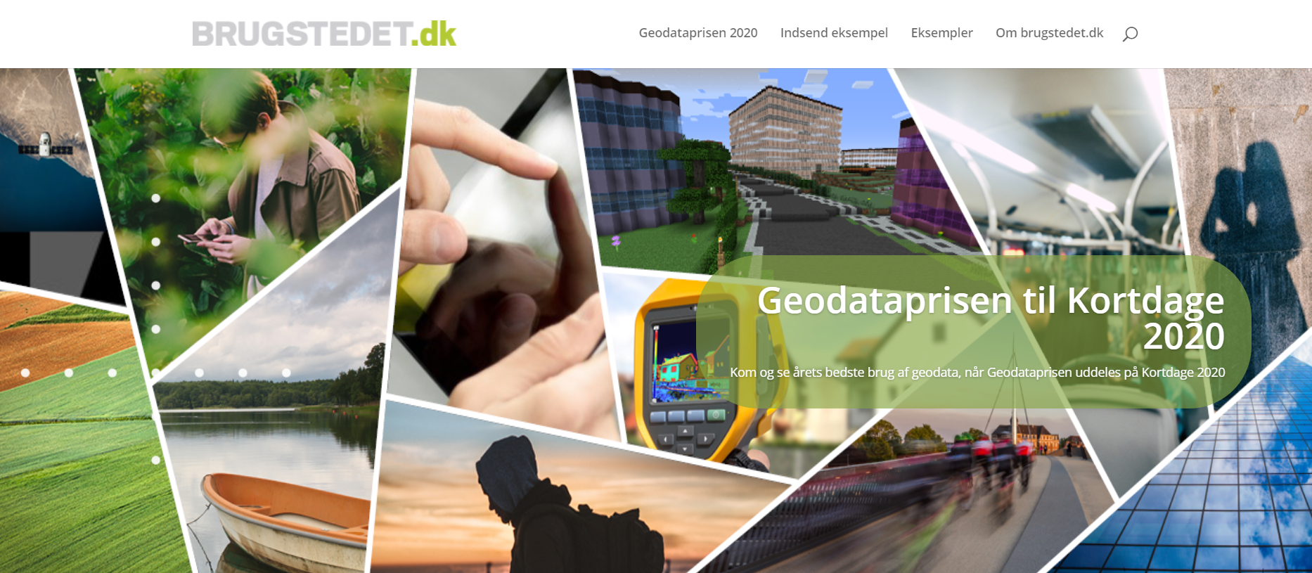
The GI domain is packed with examples on how spatial data can add and create value. We are, however, not always that good at communicating this – we tend to talk a lot about the “what” and the “how” and not so much about the “why”. Experience shows that outside our GI domain people are […]
EUROGI Strategic Framework 2020-2024
>>> Access / download document! The EUROGI Executive Committee (January 2019) and subsequently EUROGI’s General Board (April 2019) agreed to initiate a major re-orientation and reframing of EUROGI in order to substantially increase its value for its members and for the overall European geospatial community. It was agreed that this process would be based on […]
New EUROGI Vice President
Due to additional university work responsibilities Prof Andreas Wytzisk had to resign as EUROGI Vice President. On 16 June the EUROGI Executive Committee elected Bruce McCormack, the current President of Irish Organisation for Geographic Information (IRLOGI), as the new Vice President for the remaining office period. The President and members of the Executive Committee would […]
Beyond Spatial Data Infrastructures
EUROGI has invited a number of geospatial thought leaders to provide a statement on ‘Beyond SDI’, with the below quoted paragraphs as stimuli. The position statements received are herewith published by EUROGI as starters for online discussion threads and will lead to a perspectives document to be discussed at the EUROGI session at the Geospatial […]
Beyond SDI – Serena Coetzee (University of Pretoria)
The paradox of a good infrastructure is that once it works, it becomes invisible to the user. Do you ever think about the infrastructure behind the water running out of a tap in your house or the distribution network that makes it possible to plug the charger of your mobile phone into a wall socket? […]
Beyond SDI – Bart de Lathouwer (OGC)
Before we talk about “Beyond SDI’s”, let’s recognize what the SDI’s (SDI-Proper, where the objective is to support a wide variety of spatial data themes) have brought us the past 20 years! Albeit the OGC never published a document with SDI (GSDI association provided the key concepts) in the title, OGC’s OWS is in the […]