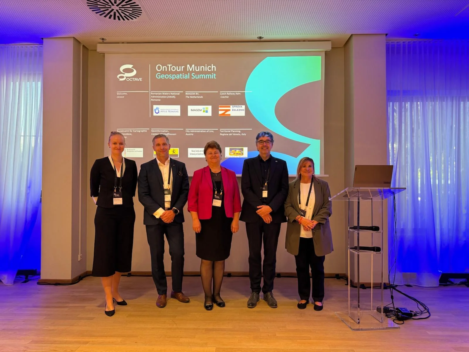
Octave Live OnTour closed its 2026 tour in Munich in October, with a Geospatial Summit that gave real-world geospatial projects from across Europe the main stage.
Octave, one of EUROGI’s members, hosted the event under the theme “Intelligence Unleashed”, in a new format billed as an “Elevated Journey”. The programme combined keynotes, breakout sessions, product roadmaps, demos, user forums and customer awards. It also included a series of Industry Summits, where customers, industry leaders and experts shared success stories and practical use cases from their sectors.
Octave and Hexagon: a familiar name with a new identity
For many in our community, Octave’s technologies are not new. Octave is the company formed from Hexagon’s Asset Lifecycle Intelligence and Safety, Infrastructure & Geospatial divisions and related businesses, and it now operates as a standalone company. Hexagon has long been a EUROGI member, so Octave’s participation continues a relationship with our network. The heritage geospatial products, such as ERDAS IMAGINE and the Intergraph solutions, are still at the core of many customer projects.
A summit built on real projects
The Industry Summits covered utilities and communications, asset management, defence, physical security, public safety and geospatial, so each sector had its own space to exchange ideas. The Geospatial Summit, a half-day session, was the one most relevant to EUROGI’s community. Bego Verdejo, Octave’s representative for EUROGI, took part as coordinator of the Industry Geospatial Summit . Seven sessions showed the range of what the community is doing with geospatial data.
Seven sessions showed the range of what the community is doing with geospatial data:
- Flood protection: Romania’s national waters administration presented its National Waters Cadastre, a full-cycle project for analysing and planning flood protection.
- Urban planning: Imagem showed Digital Realities, a digital twin and knowledge-technology solution that automates regulatory assessments to speed up housing projects in the Netherlands.
- Railways: Správa železnic presented the Czech Digital Technical Railway Map, one of the country’s largest digitalisation projects.
- Digital Twin Germany: BKG, with Octave, TU Munich and Hexagon AI Hub, showed GeoAI workflows to turn large airborne LiDAR point clouds into reliable object-based information.
- AI in WebGIS: Canton Schaffhausen presented a conversational assistant that lets citizens query geodata in plain language.
- Dog City Map: the City of Linz showed a public map of dog-friendly services, built with Alto Enterprise.
- Earth observation: Regione del Veneto explained how it tracks bark beetle outbreaks in the Italian Alps, moving from PlanetScope to Sentinel-2 data.
Why it matters for the EUROGI community
The sessions covered climate resilience, critical infrastructure, digital twins, AI and open data access, topics that run through EUROGI’s own work. They also showed national agencies, regions, cities and industry partners working together.
Thank you to Octave for sharing this with the network. More stories about our members will follow in the coming weeks.
More about the event: https://live.octave.com/event/Munich/summary