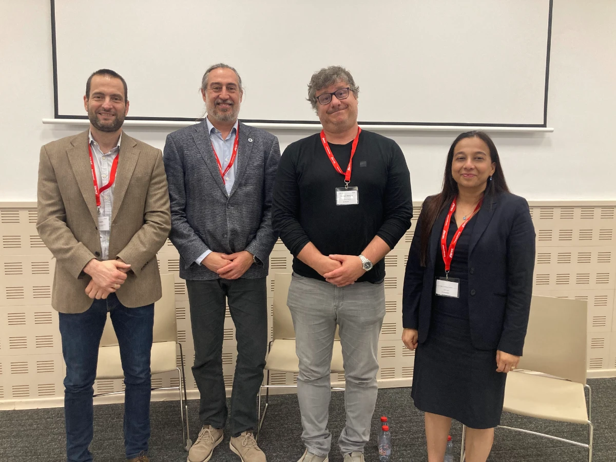
The discussion in Benidorm brought together perspectives from national mapping, municipal geoinformation, Earth observation and GeoAI research to examine how Europe can make its geospatial ecosystem more interoperable, useful and responsive to emerging technologies.
On 21 May 2026, EUROGI organised the roundtable “Shaping Europe’s Geospatial Future” at GISTAM 2026 in Benidorm, Spain. Moderated by EUROGI President Alejandro Guinea de Salas, the session examined key questions facing the European geospatial community, from the future of the INSPIRE Directive to the growing influence of artificial intelligence on how geographic information is produced, processed and used.
The discussion brought together Emilio López Romero of Spain’s National Centre for Geographic Information (IGN); Zilmil Bordoloi of the City of Lucerne Geoinformation Centre and the Swiss Organisation for Geographic Information (SOGI); Richard Lucas of Aberystwyth University; and Domen Mongus of the University of Maribor.
Watch the recording
Rethinking INSPIRE around users and applications
The first part of the discussion focused on the future of INSPIRE and the European Commission’s efforts to simplify the framework. Participants considered how to reduce implementation complexity while retaining the interoperability, consistency and quality needed to share and reuse geospatial data.
Emilio López Romero highlighted the benefits of INSPIRE, including common approaches to metadata, service catalogues and data models. He also pointed to the difficulties organisations can face when implementing the framework, particularly where data is not already well structured.
Looking ahead, he argued that the next stage should place greater emphasis on practical needs and applications. As he put it, “in the next INSPIRE 2.0, we have to think in the users and in use cases, not so much in the providers.”
This user-centred approach was an important theme throughout the discussion. Participants considered how geospatial frameworks can better support applications in areas such as the environment, emergency response, security and public administration, rather than treating data provision as an end in itself.
The conversation also highlighted the continuing importance of standards. Consistent data structures can make it easier to combine information from different sources and jurisdictions. However, participants raised questions about the cost and complexity of standardisation, and whether every dataset needs to follow the same level of detailed requirements.
Data quality in the age of AI
The roundtable then examined how artificial intelligence is changing geospatial workflows and data requirements. Participants discussed the potential of AI to support data integration, classification, analysis and decision-making, while emphasising that its effectiveness depends on the information available.
Data quality was a recurring concern. Different applications require different levels of accuracy and detail, and organisations need ways to assess whether data is suitable for a particular purpose. Metadata, clear semantics, and responsibility for maintaining and updating datasets remain important, particularly when information supports public decisions.
The discussion also explored how AI systems interpret information. Existing geospatial standards and metadata approaches may not always provide the semantic context needed for advanced AI applications. Improving how data is described and understood could therefore be as important as making it technically accessible.
Participants offered different perspectives on how far standardisation should extend, butagreed that interoperability and reliable information remain central challenges as geospatial data is integrated into a wider range of applications.
Connecting geospatial expertise with wider needs
The discussion underlined the growing role of geospatial information beyond specialist GIS environments. As AI and data-driven systems become more widespread, geographic information is increasingly relevant to applications across sectors.
This shift has implications for the geospatial community. Alongside technical expertise, organisations need to understand user requirements, connect geospatial information with other types of data, and ensure that resulting applications provide meaningful support for decision-making.
The roundtable highlighted the need to balance innovation with continuity, data quality and practical implementation. Simplifying frameworks, improving data interoperability and adapting to AI will remain important to the development of Europe’s geospatial ecosystem.
By bringing together perspectives from public authorities, local government and research, EUROGI’s session at GISTAM 2026 provided a forum to examine these challenges and the choices facing the European geospatial community.
Community Voices
At GISTAM 2026, we asked members of the EUROGI community to share who they represent, what challenges they see ahead, and what EUROGI means to them. Watch the interviews below:
Marion Murphy
Mallon Technologies
Zilmil Bordoloi
City of Lucerne Geoinformation Centre and the Swiss Organisation for Geographic Information (SOGI)
Francesca Piatto
European Association of Remote Sensing Companies (EARSC)